A short drive north of the city had some other sights
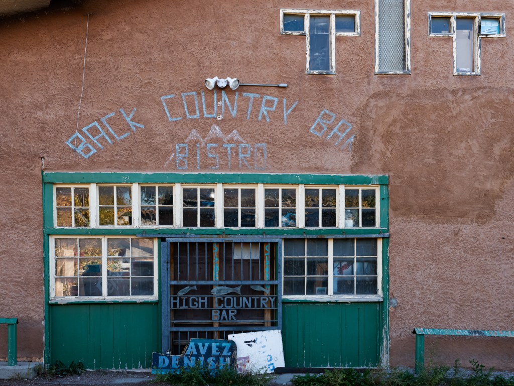
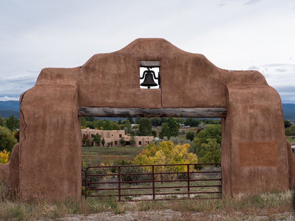
A parallel road to the big connecting highway ran you through more desert wonderland, a modern yet foreboding adobe church, and a reminder that not all business ventures in remote locations will prosper.
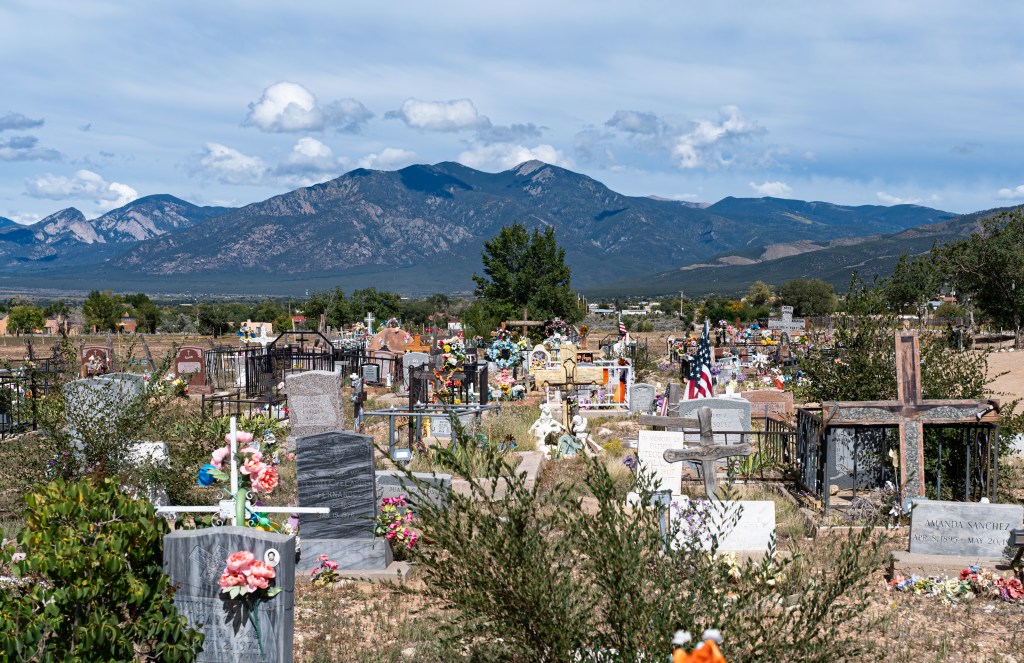
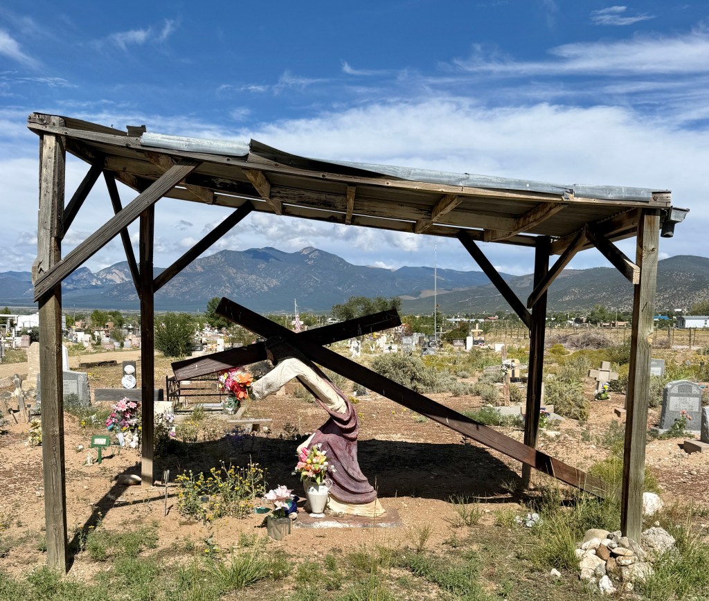
There are many, many cemeteries sprinkled along the roads and they always show signs of life and evidence of folks visiting (even if for only 1 day) and leaving plastic flowers in their wake. Because it is such dry land they are not always the tidiest of places but i did not find them depressive.
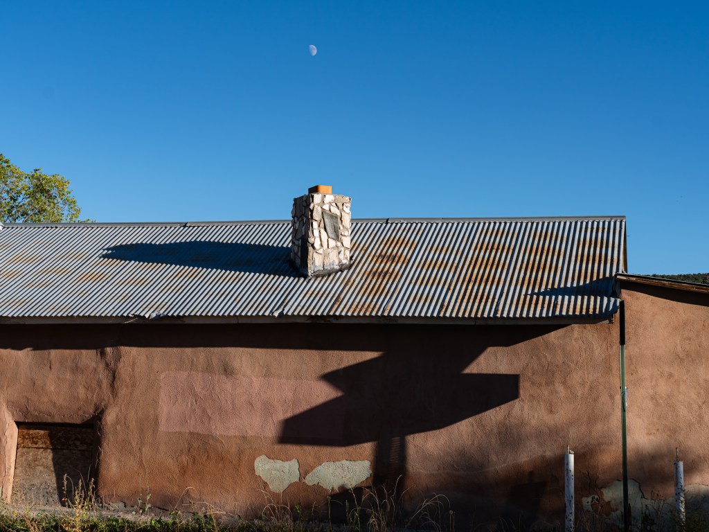
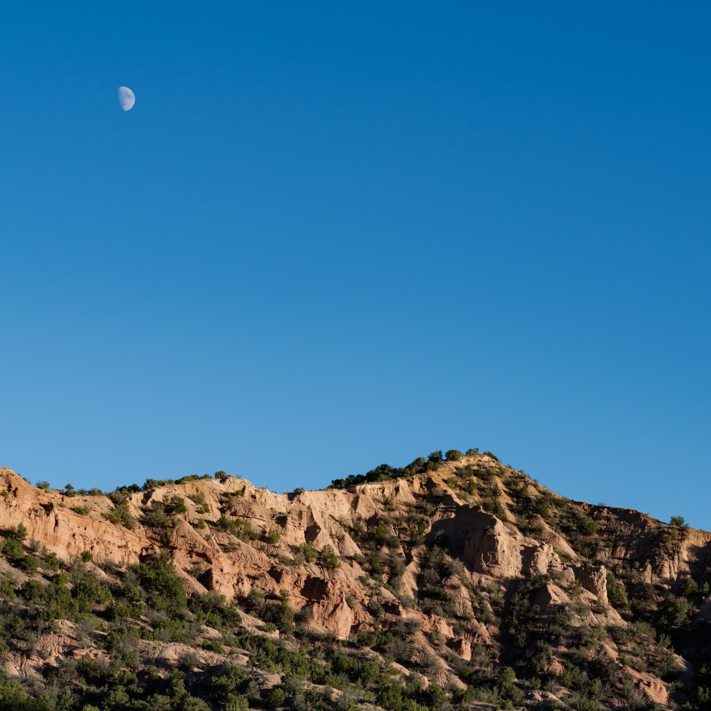
The sun was getting low and the moon was starting to rise. Time to head back to the nest.
The day started with a visit to the New Mexico History museum because i had questions. A lot of them were answered and NM easily had 250+ years of history prior to it being ceded from Mexico in 1848 with the signing of the Treaty of Guadalupe Hidalgo. It was admitted into the union only in 1912!
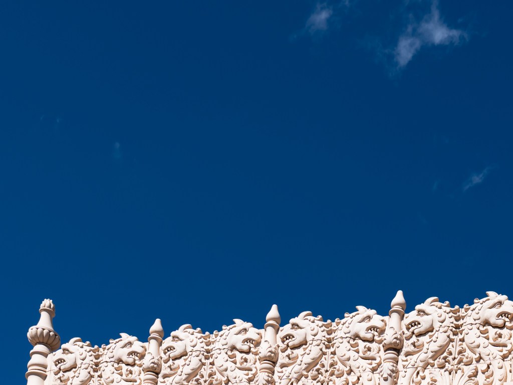
The 2 faces of NM:
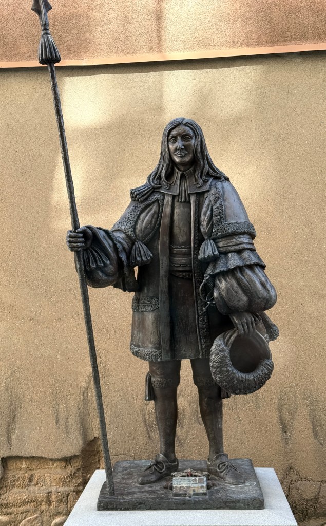
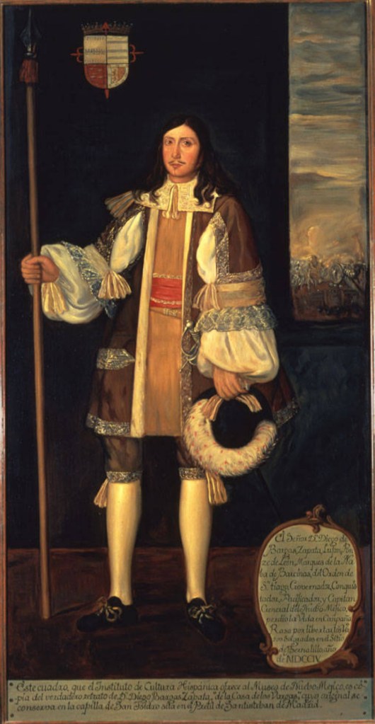
And varied faces they are. The first represents the folks who were here first. The second is a controversial statue of Diego de Vargas Zapata y Luján Ponce de León y Contreras (whew, say that one twice) that was proudly in the central plaza of Santa Fe and then scurried off as being a political hot potato when that was also happening in other places to other people.
He was a Spanish Governor of the New Spain territory of Santa Fe de Nuevo Mexico. Wikipedia says he was the title-holder in 1690–1695, and effective governor in 1692–1696 and 1703–1704. He is temporarily housed at the museum until 2027 after being found in the backyard of the contractor who removed the statue. After 2027 his fate is unknown. Vencido al fin?
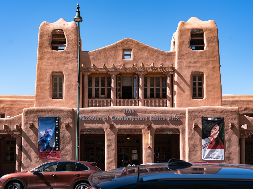
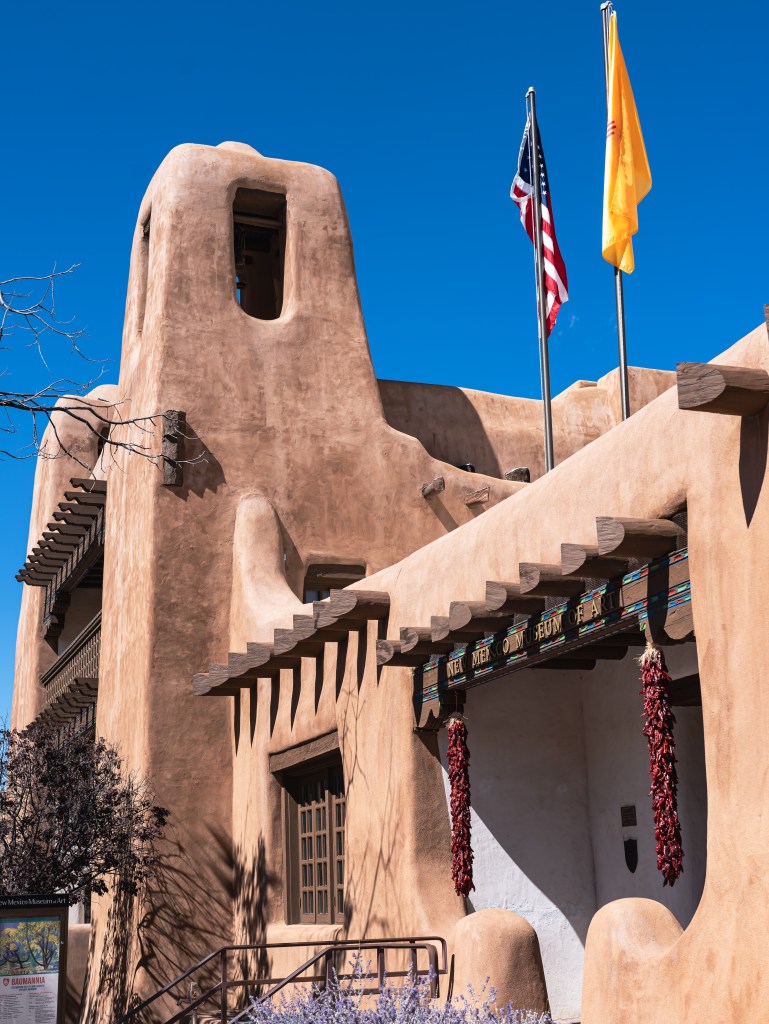
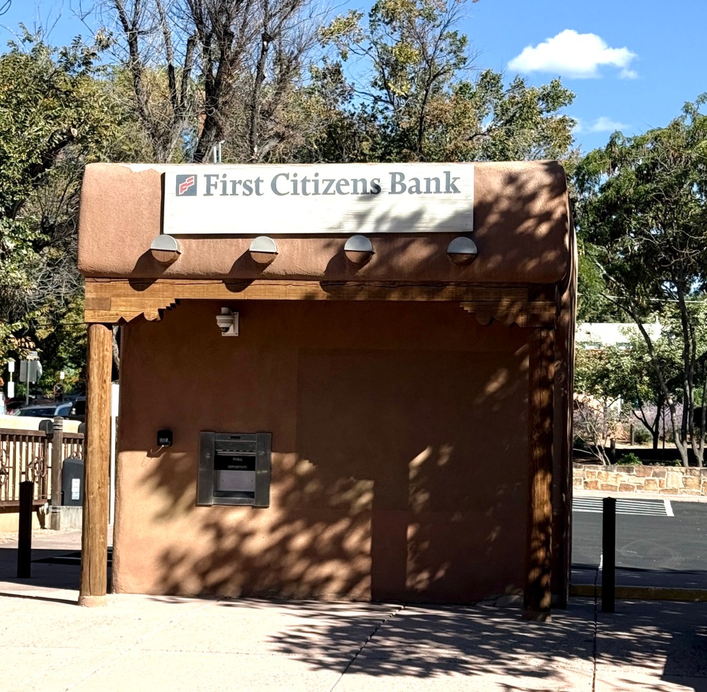
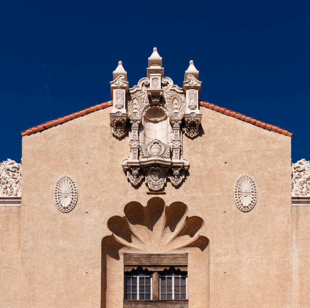
Walking the streets of Santa Fe was next and it was confounded by narrow sidewalks and close collisions with folks who were often unaware that there were other folks on the very same sidewalk at the very same time. An attractive city, it took its adobe heritage seriously, even down to an ATM.
The rest of the time was the usual walkabout stuff and a random walk looking for photo opportunities. I missed large portions of the city because there were other things to see. It also very conveniently leaves a terrific excuse to come back.
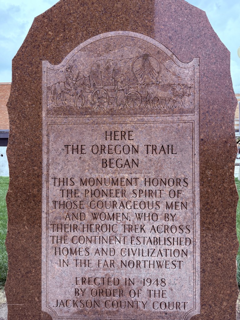
In the spring I saw where the start of the Santa Fe trail began in Franklin, MO and used the trail as an organizing principle for parts of a trip around Kansas.
Now it is October and guess what?
And now it is lunch time followed by a walk to see what I can see
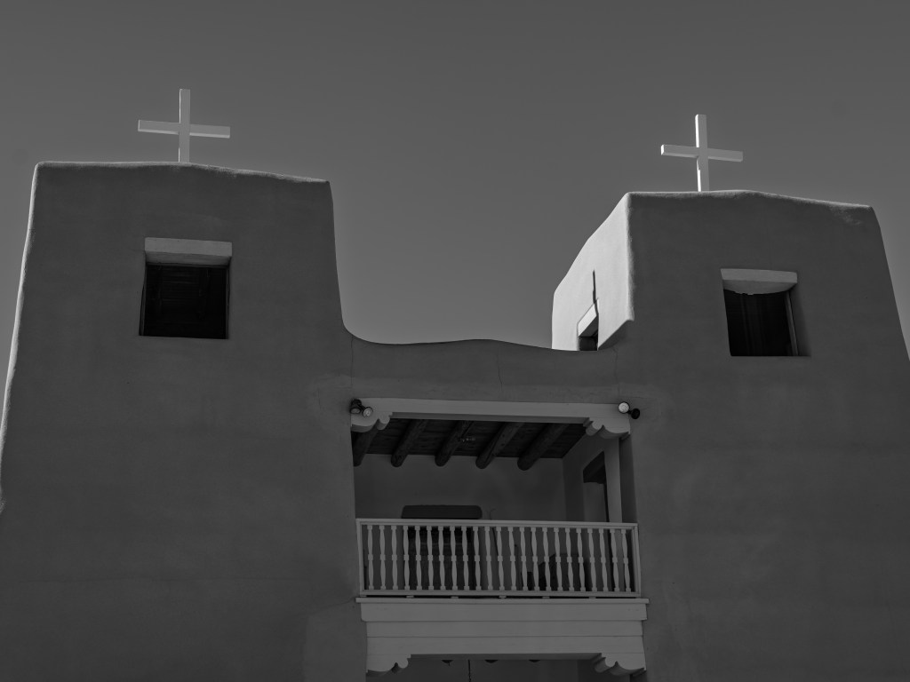
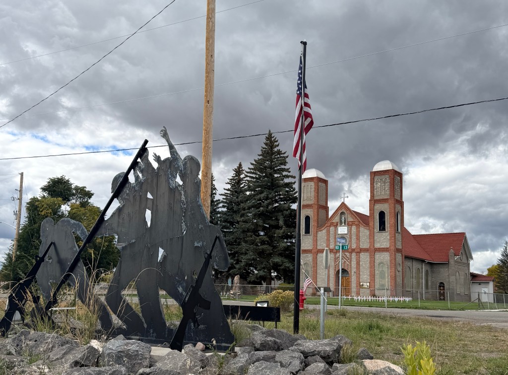
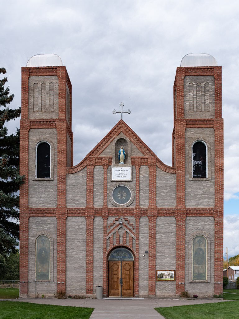
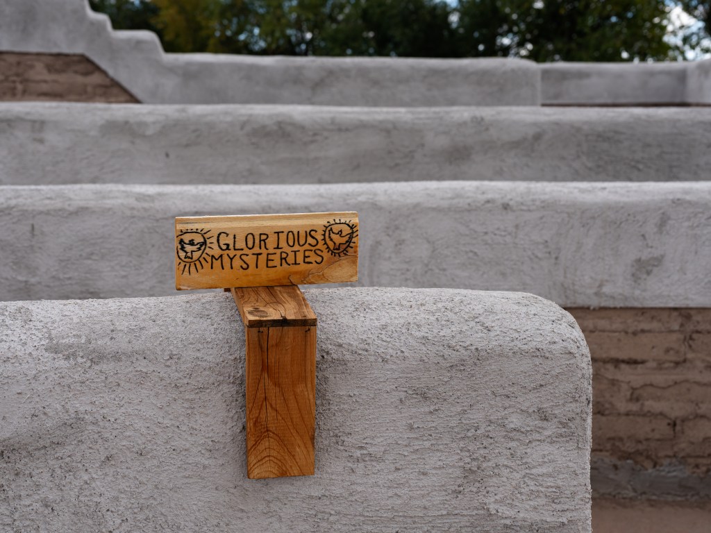
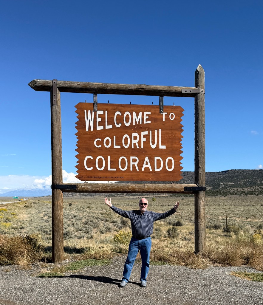
When you see a sign that says, “The oldest church in Colorado” you just gotta stop. You just *gotta*. When you see that it is flanked by an Iwo Jima silhouette held up by rifle supprts, you gotta stop just a little more.
The church itself is in its 3rd incarnation, but started out as a , jacal which were churches assembled by what was at hand, often adobe.
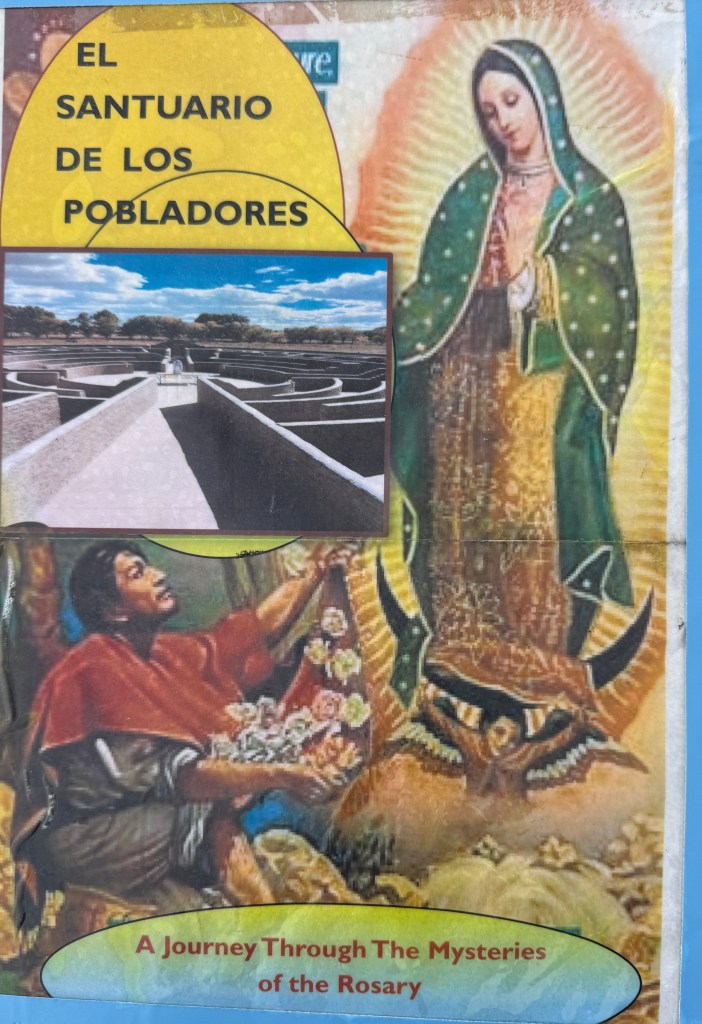
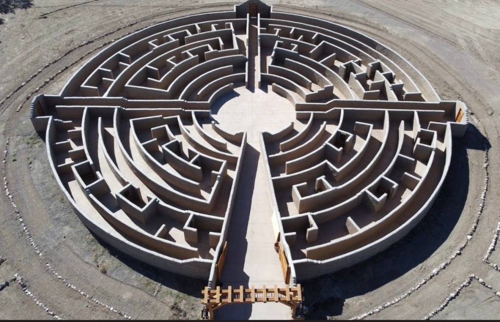
And wonder of wonders, the church also supported an labyrinth which could be walked (and was).
Inside you were appropriately greeted and met with the consoling message that there were no wrong way to go. I chose the ‘Glorious Mysteries’ route.
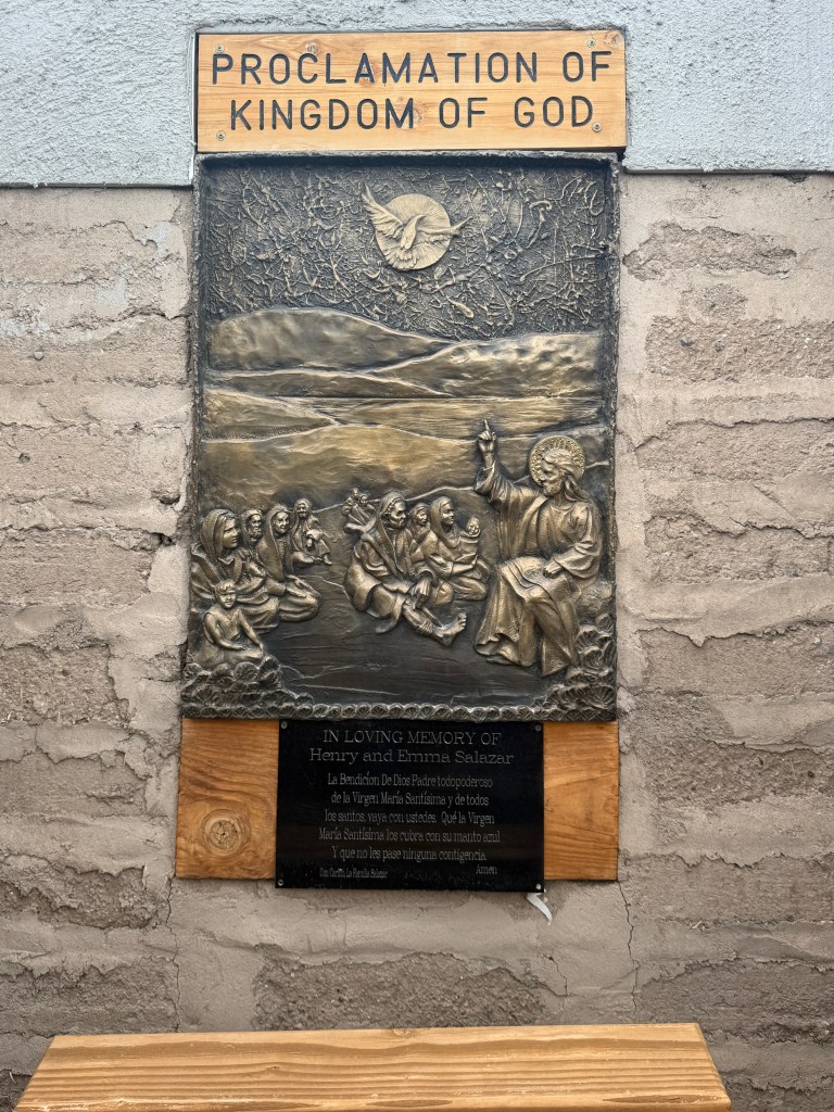
Being a true labyrinth you wandered to-and-fro until you encountered a nicho with a bronze plaque inside that could be contemplated. The nicho included both a bench and a kneeler with a shelf for your elbows.
Tbh, I also walked the ‘luminous mysteries’ quadrant and carried on.
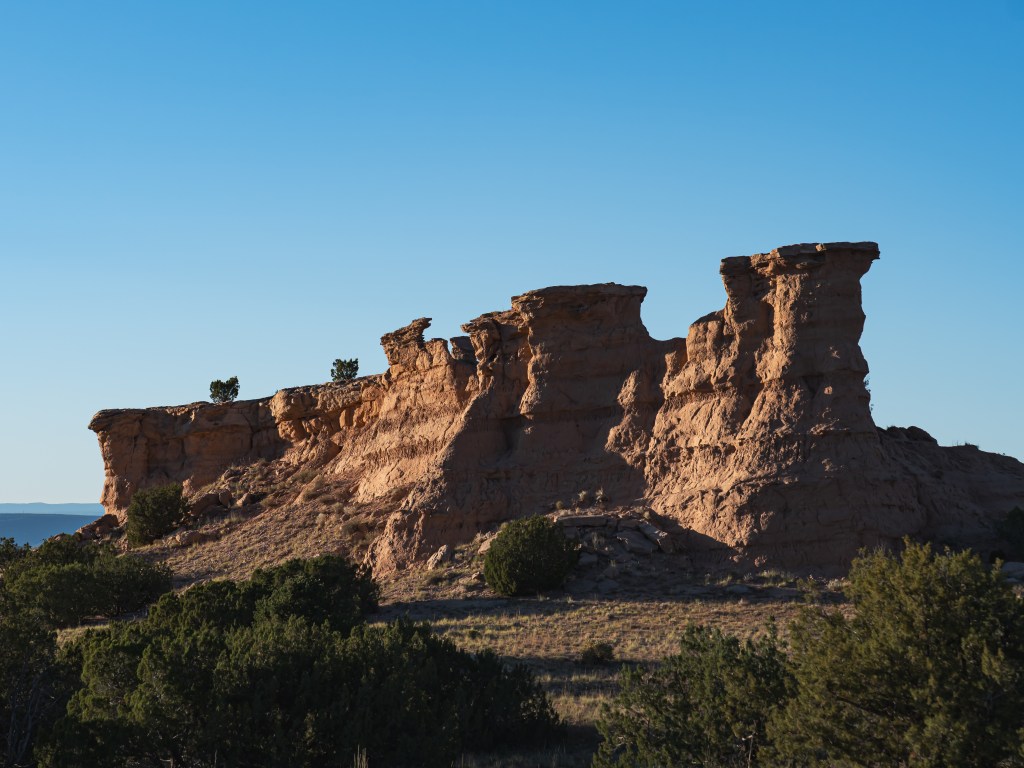
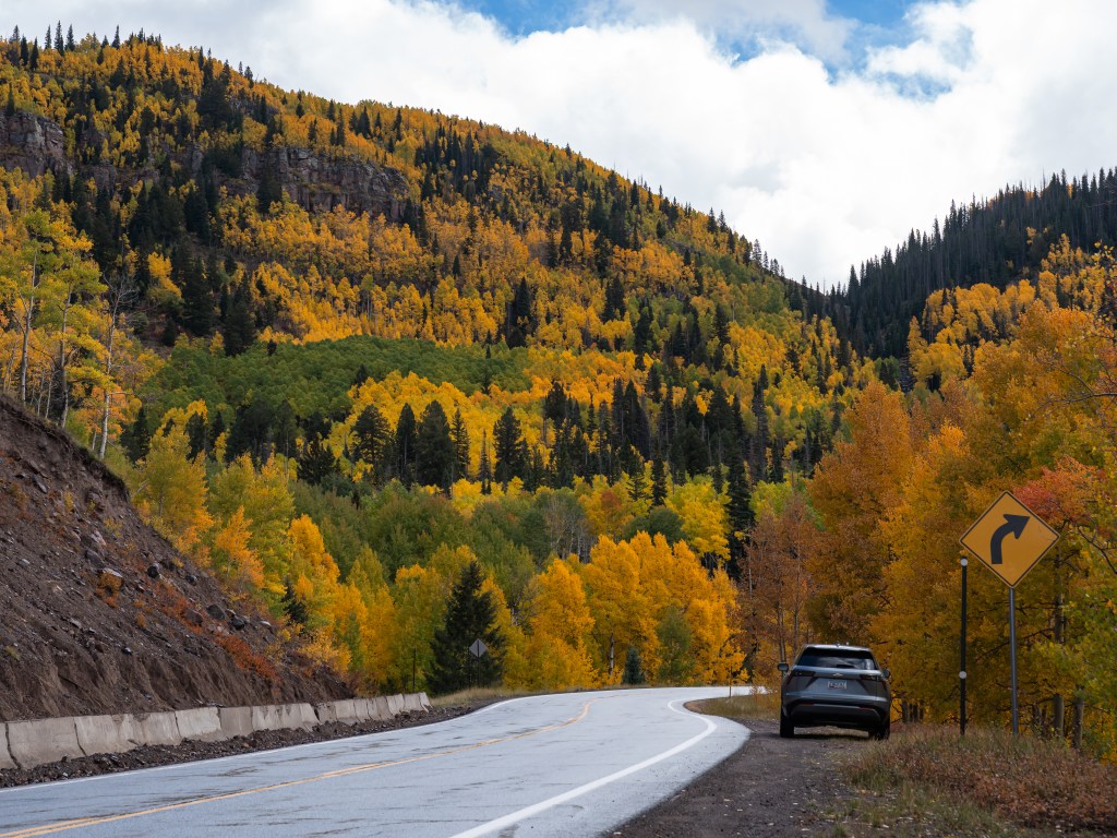
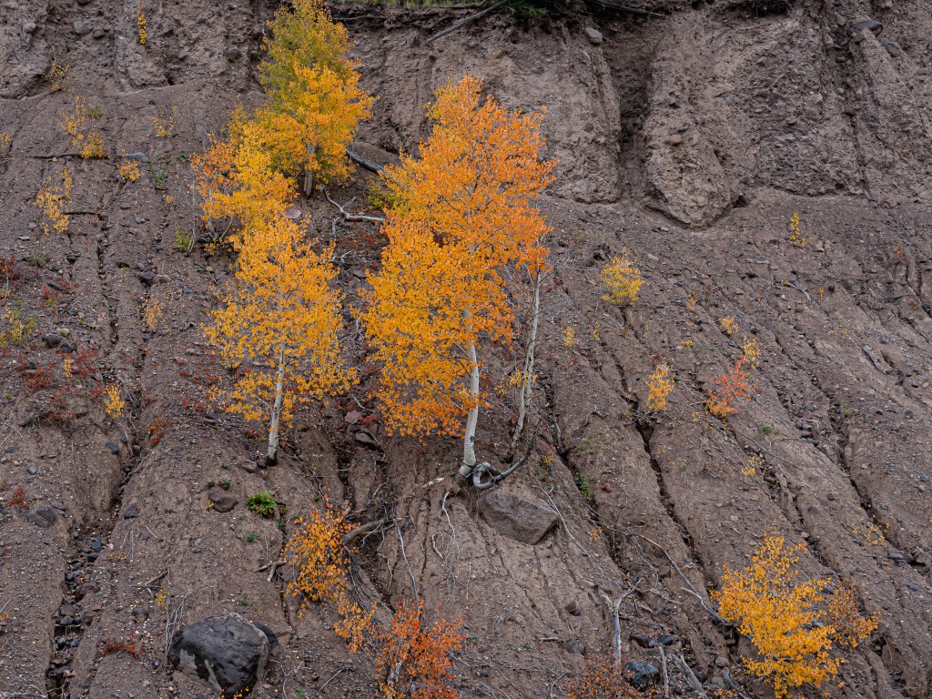
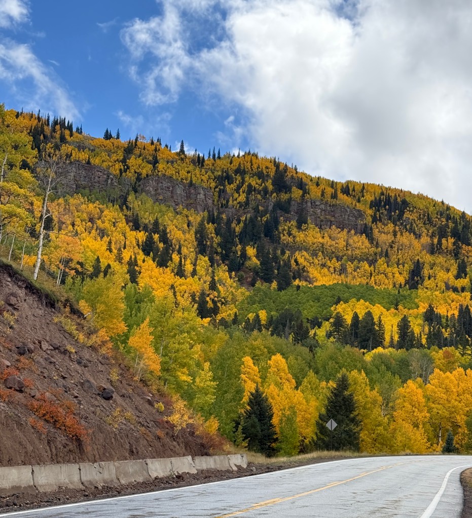
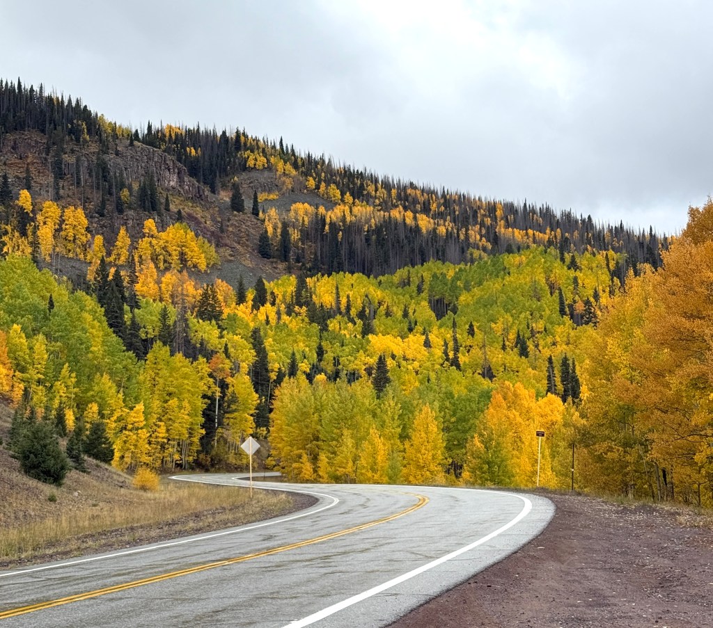
Sorry to say it, but there are some more pictures of yellow mountains majesty…
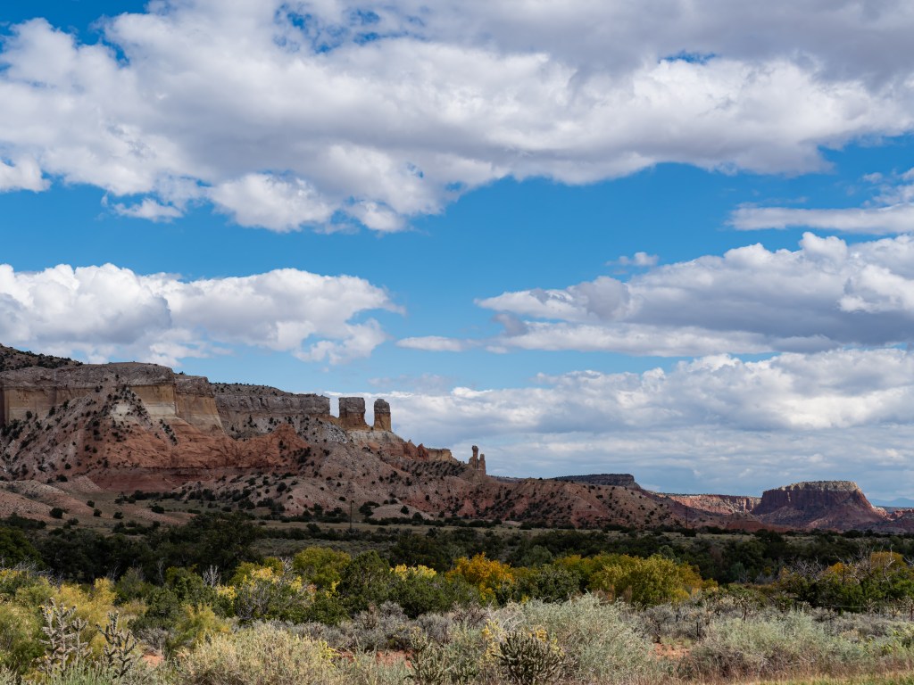
1). Roads that wind away, colorful walls of color, and (almost) nobody on the road? What is not to like?
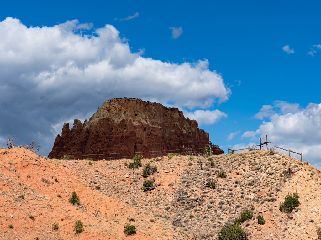
2). An orange splash in the middle of a rock wall? Who ever thought of that?
3). The hoopty against some yellow
The road peaked at 10,000 feet and at that height there were no yellow trees. They had not been invited to such lofty heights. But drop a thousand feet, and there they were, as big as day.
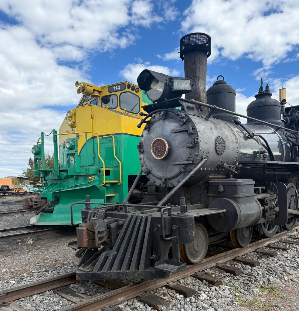
Then, after the rain ended and the yellow birch and aspens disappeared for reasons other than altitude, what should pop into view but something out of Hooterville. It was the terminus of a historic narrow gauge steam train. Tickets are $65-$165.
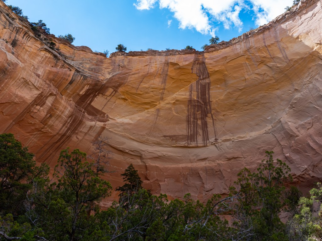
Because I was, at this point, flowing to the Atlantic ocean, as the elevation dropped further, things became more arid and wondrous rock formations appeared. One particular outcropping hung around a roadside marker for the “Echo Amphitheater”. The amphitheater itself was formed by dripping water and now reveals a bowl which truly does echo. I was there with visitors and their 3 dogs who would bark and howl and did not know what to make of hearing their own voices echo back, so they became silent before being cajoled again by their owners. They were not sure what to make of such terrific acoustics.
A ways down the from that area was the village of Abiquiu which is where Georgia O’Keefe lived. It was not hard to see why and tours of the house were by reservation only. The church was neat and tidy and was part of a plaza and faced other buildings including an old movie theater called, “The Piñon” which might have also been a movie prop. It made no sense where it was located.
I also discovered a new word – Morada. Morada is the term for a meeting houses found in pueblos where spiritual ceremonies and other community gatherings take place. There was one within a 5 minute walk of this church. Was i gonna be that person who would traipse over to it uninvited, and take a pic or two and then hop in his hoopty to never be seen again? No, i was not going to be that person. And i wasn’t.
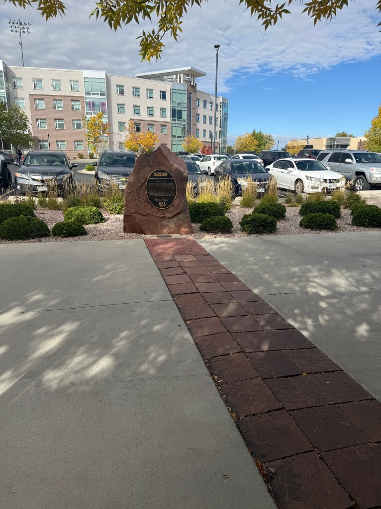
Can it be a bad day if you learn something new? Today’s factoid was around the first Olympic marathon training site for the olympics being located at nearby Adams State University (Go Grizzlies!). The Olympics were being held in Mexico City in 1968 which is has an elevation of 7,300 feet. If you are not used to such elevations, your body lets you know. How could American marathon runners ever expect to compete?
Enter Coach Joe and Buddy who knew that their school not only had the right stuff, but also the right elevation (7,500 feet). The rest is history!
Leaving ASU in appreciation, it was time to top the gas tank off with some Dino Plus, see a choo-choo or two.
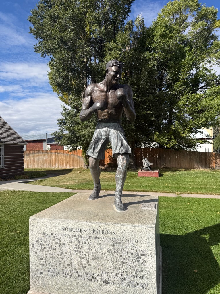
And in the spirit of the Olympics, why not see where Jack Dempsey, the Manassa Mauler, was born?
Mr. Jack Dempsey looked 100% the part of a pugilist. He hailed from the 1 room house on the left in Manassa, CO
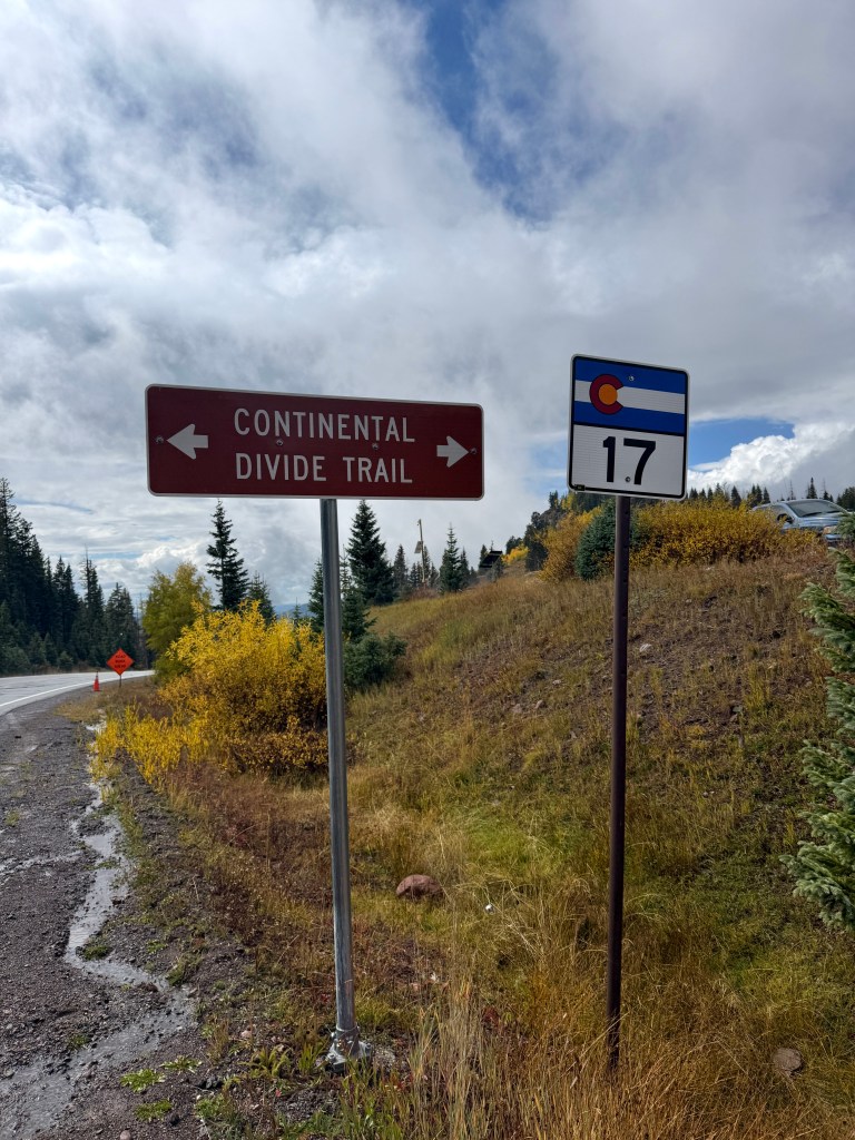
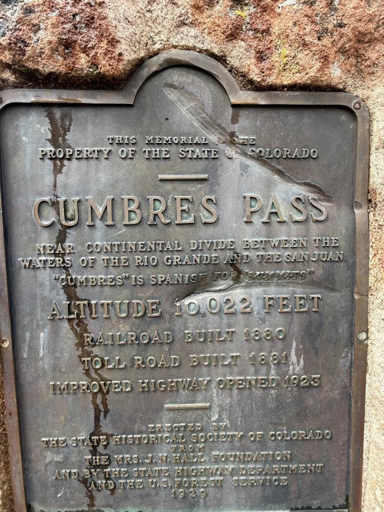
From there it was a road that i did not know beforehand would pass through a state forest. And a mountain road it was, and soon i was no longer flowing to the Pacific ocean as i passed over the continental divide and started flowing to the Atlantic ocean.
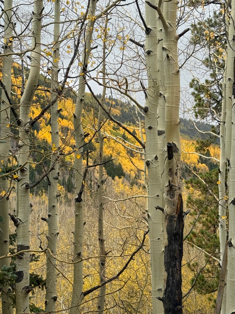
After that it was seeing the yellow autumn of Colorado.
The birches and aspens were showing me what they could do. And boy, could they do!
I counted. This must be the deluxe model and heavy on the luxe.
But despite all that technology, I can only turn the tv ‘on’ or ‘off’ and not really watch it. Guess that is my clue to go. There is an Olympic marathon training site to see, a continental divide to get near, a house made out of beer cans, (hopefully) a steam train, and a large labyrinth at Our Lady of Guadalupe.
Looking like an axolotyl ready to snatch you up for breakfast, all you had to do was walk toward it.
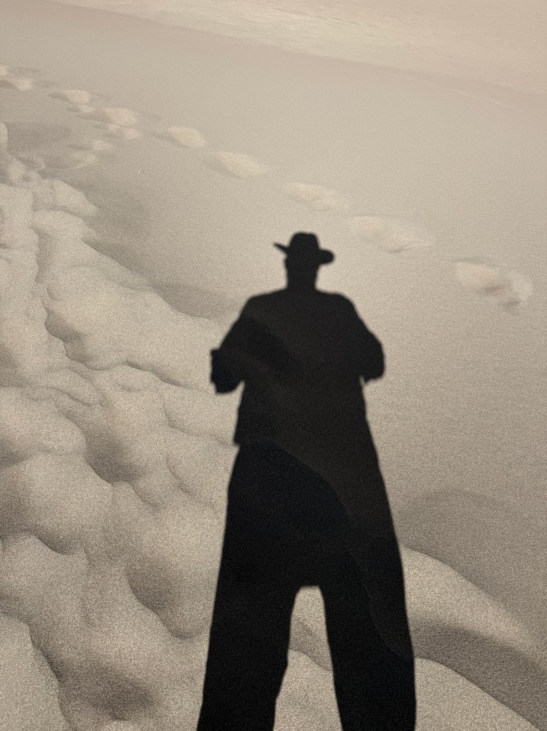
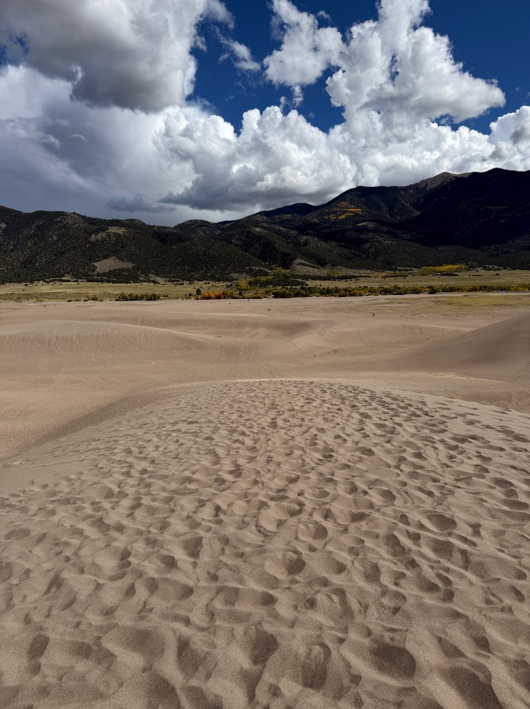
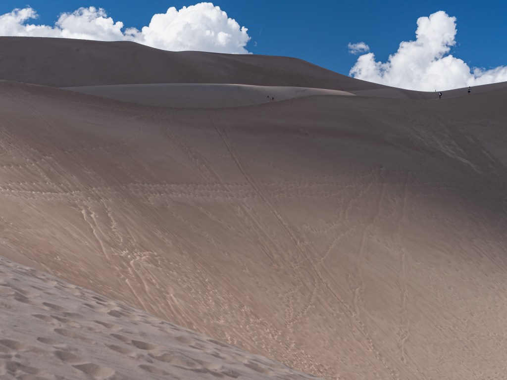
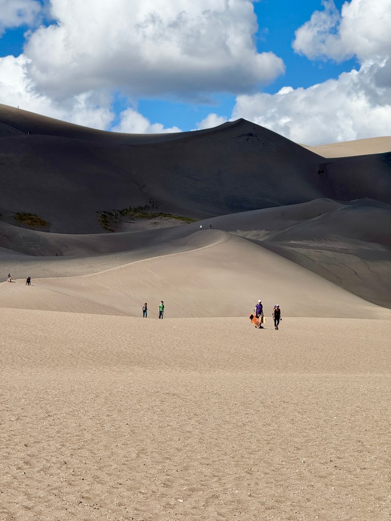
Again, the scale of the place is hard to fathom until you start walking, or better yet, until you see those who have walked ahead of you…
This is as far as i made it and it was only half way up.
half. way. up.
If i had brought some water or chapstick i would have gone up further. The parking lot is at the edge of the sand. It took 33 minutes to get this far and instead of my dogs barking, it was my thighs.
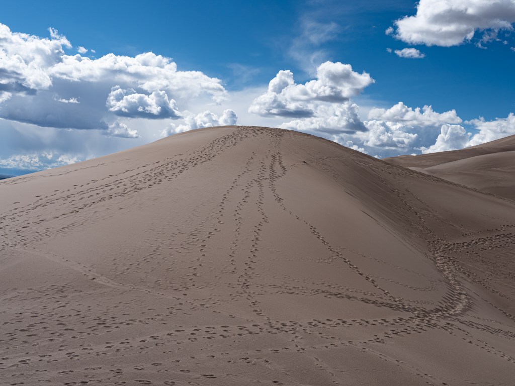
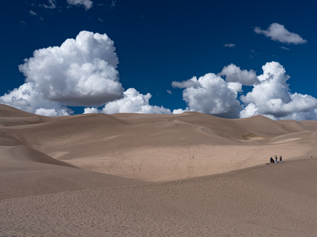
This was what i was aiming for….the tippy top of a dune. Lord knows what other ones were beyond that.
This one was easier to get to, but what you are seeing are the tracks of folks going down. You can see the different walking strategies at work.
This baby hill was enough for these folks who were happy enough to sandboard down it and slog back up to do it all over again.
The left proves the point that the shortest distance between two points is a straight line.
The right picture captures that point when you think to yourself, “what was i thinking?”
Seems reasonable until you have to go up for the third time 🙂
And my time at the park had expired. I got in with my Lifetime Pass which saved me $24. The ranger at the station would not just accept the pass and also asked for a driver’s license to verify that both names were the same. They were. 🙂
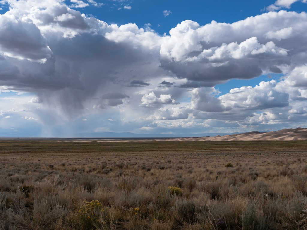
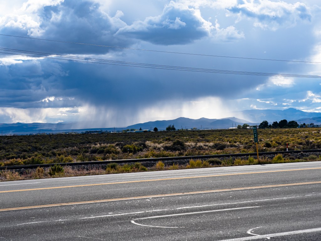
The clouds which had been gathering in both number and darkness and finally started to yield some rain. The experienced dune buffs figured as much and at this time of the day started to head inland. One of the signs at the visitors center said that lightening will hit the sand and if you hear it in the distance then that is your cosmic clue to get outta Dodge.
This pic is on the way out of the park not because i was a wise dune buff who knew when to leave, but rather because i was a tired pup. I had some green tea in the car and my thirst was minimized. Not quenched, just minimized.
This poor little landform was getting pummeled all the way to the hotel. The cloud above it refused to budge and shifted only a little to the left.
Today was a short little jaunt into Colorado to see another Fort (home of Kit Carson for 18 months, and 100-200 or Buffalo soldiers over the time it was an active fort (1858-1883). The Fort itself was kind of a bust and what you found online was way more descriptive than what you saw in person. But it was important in its day and along with Fort Union further south, played a significant role during the civil war. Next door to it was a (another) dispensary, so times have indeed changed.
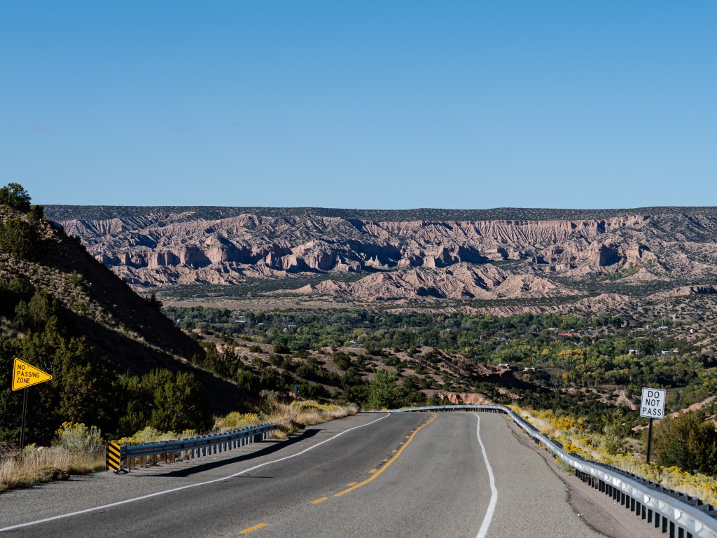
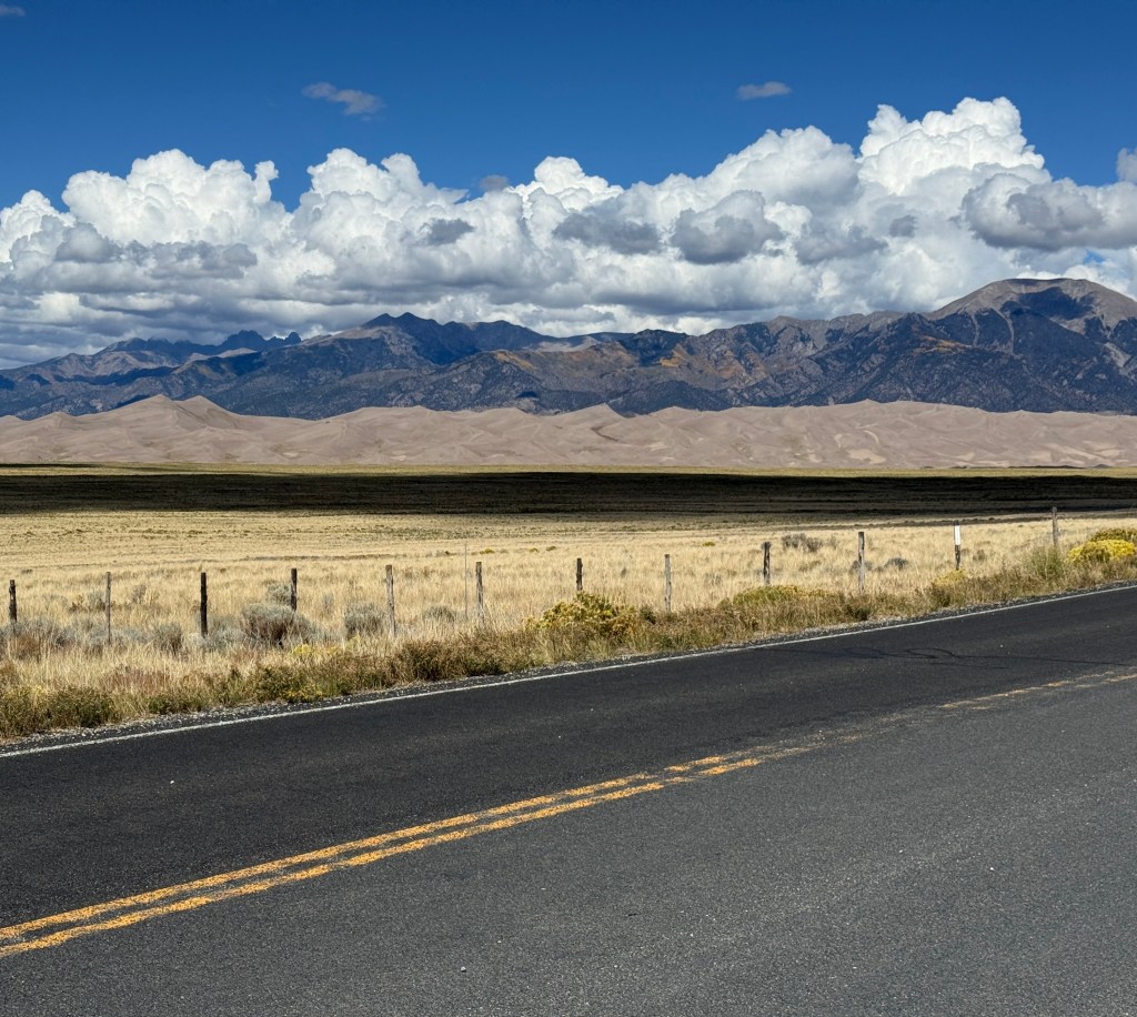
Going north into CO from NM included a change in the terrain to accompany the change in elevation, and once over the border, it no longer was NM-esque.
Bumps started to emerge from the landscape and soon those coalesced into a range. And of all things, the folks who took the above pic drove all the way from Gettysburg which is 1.5 hours away from me. They were headed to the same park.
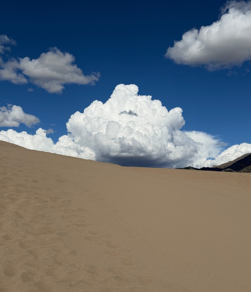
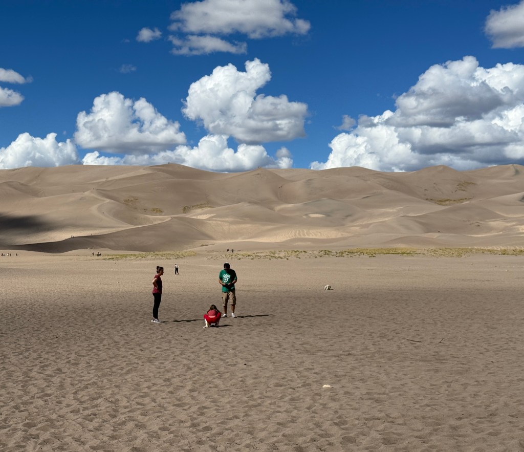
I originally poo-poo’d the idea of ‘the highest sand dunes in the America’ and thought it was clever marketing due to the overall elevation of the southern Rockies (the park itself was at 7,900 feet). As you approached the park, you saw a pile of sand at the base of some mountains and as you got the scale of things in focus, you could see that these were truly tall. The tallest dune is 750 feet.
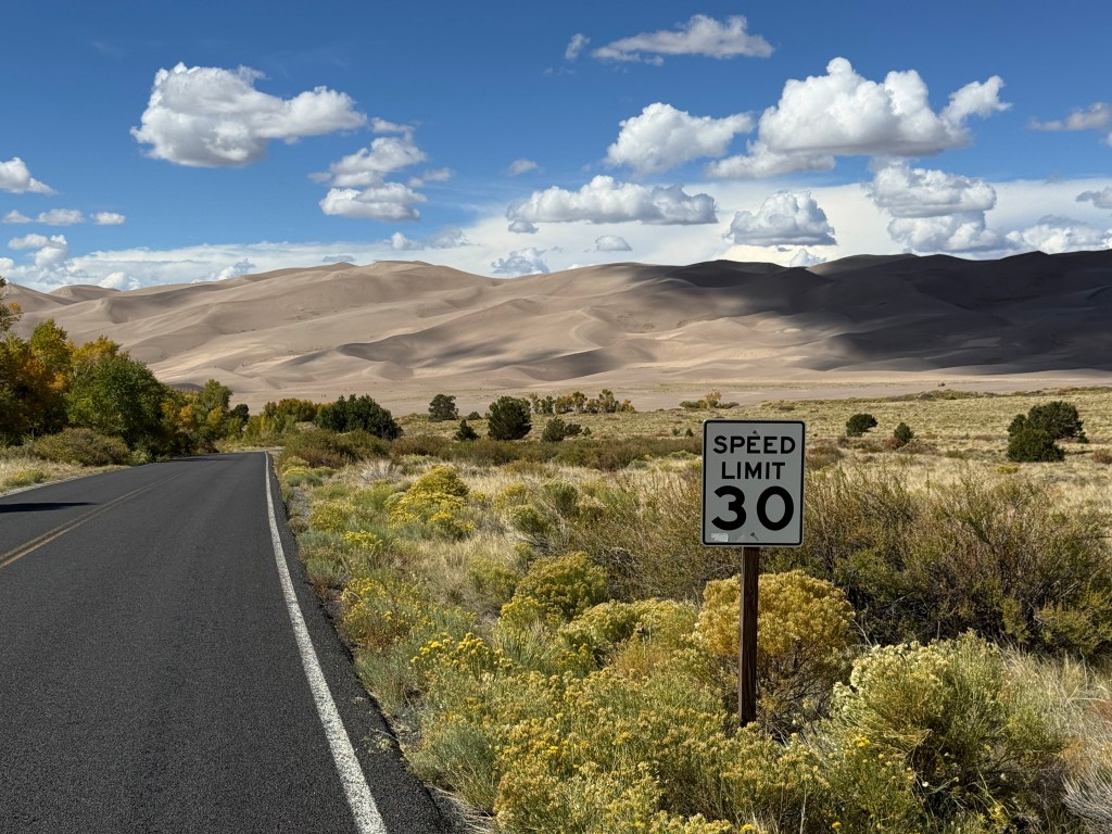
This is a niche park with one road in and out. You could go to the visitor center, go to the dunes, or a campground. Oh, there was also a waterfall.
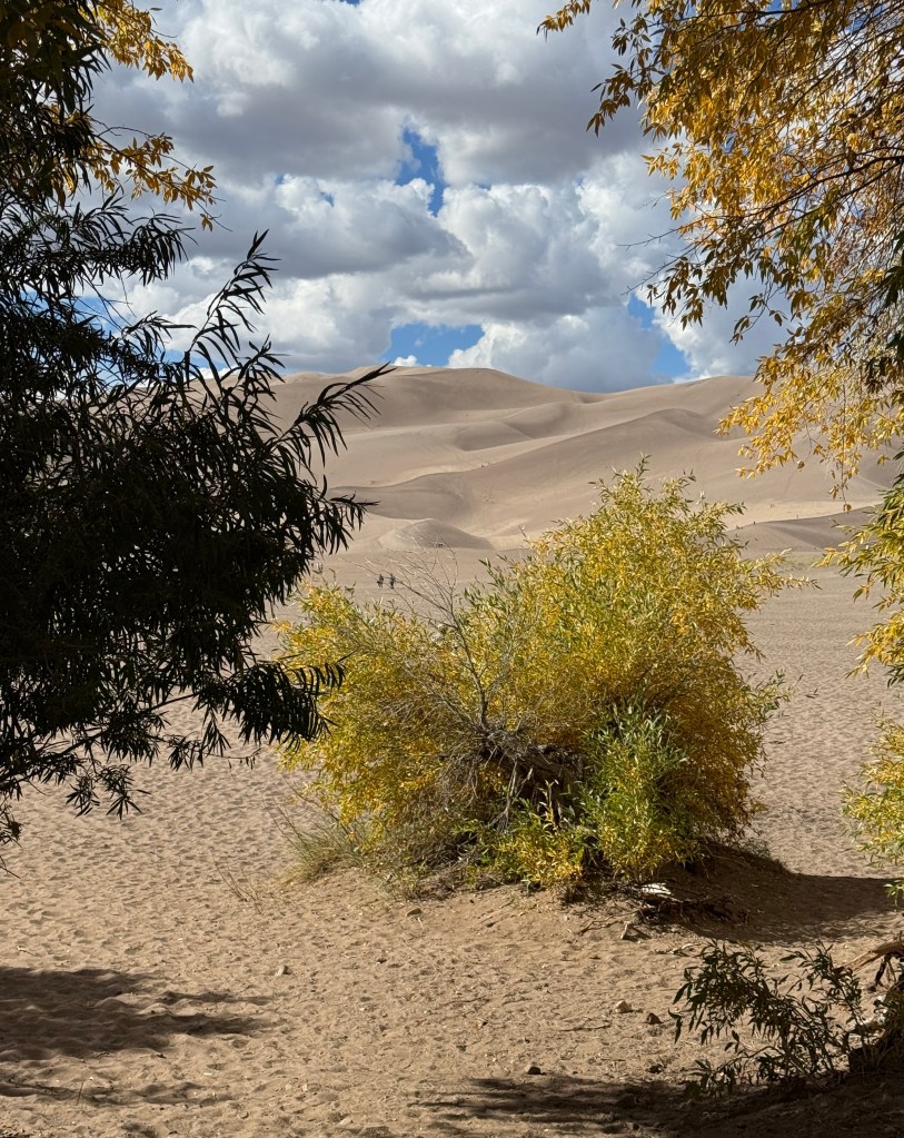
The dune parking lot was almost a typical beach arrangement with a small embankment of trees that separated the parking lot from the “beach” except in this case the beach was hundreds of feet tall.
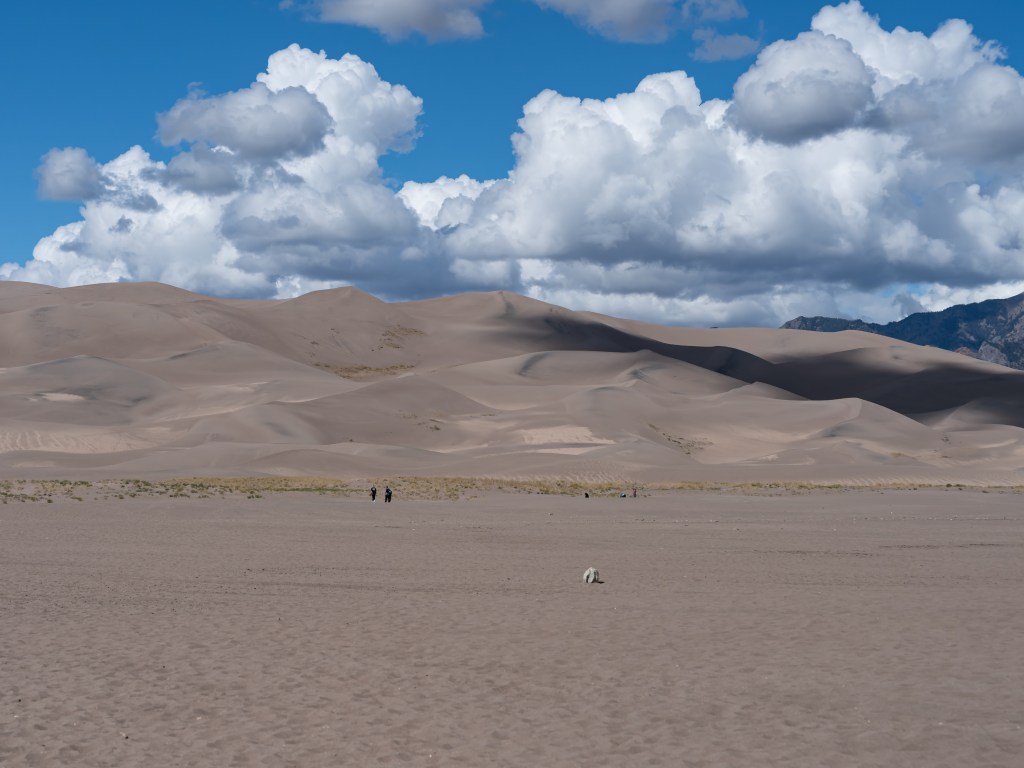
You started to smell a rat driving down to the dune parking lot as is shown in the first pic. The middle pic actually is at the dune parking lot. “Look Ma! No ocean!!!”. The pic on the right is the slight descent down from the parking lot into the dune field.
The walk from the parking lot flatish sand that had people walking into the distance like some crazed bedouins going on a walkabout. There were folks with walking sticks, folks with very happy dogs, and as you got closer to the tall dunes, there were folks with snowboards because…why not?
The countryside around Taos is fantabulous but hard to photograph because while there are not a lot of roads, the ones that are there are used. A lot. Fortunately, i discovered where the emergency flasher on the car was the prior day. There is adobe for days here both in standard build forms and more DIY varieties. It does make for an impressive edifice for larger homes.
My morning started with being thwarted with a visit to the Taos Pueblo. When i got there, a kid at the gate said it was closed and did not know if it would open the next day. There is a biiiig festival there on 9/30 and i would imagine they are getting ready for that. It also rained over the evening and i bet it was also pretty messy, what with it being made from adobe and dirt roads.
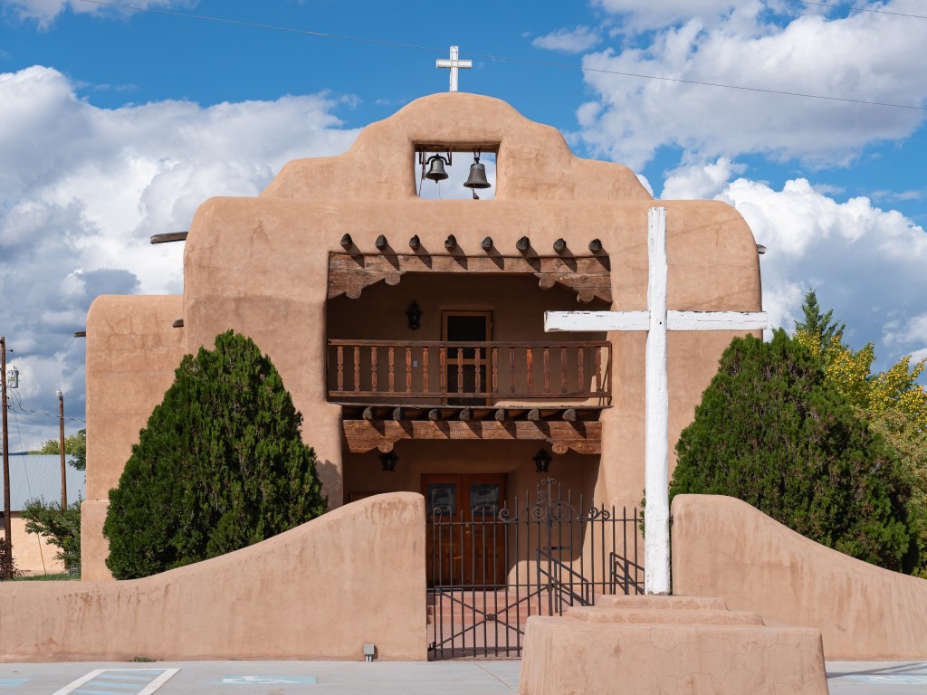
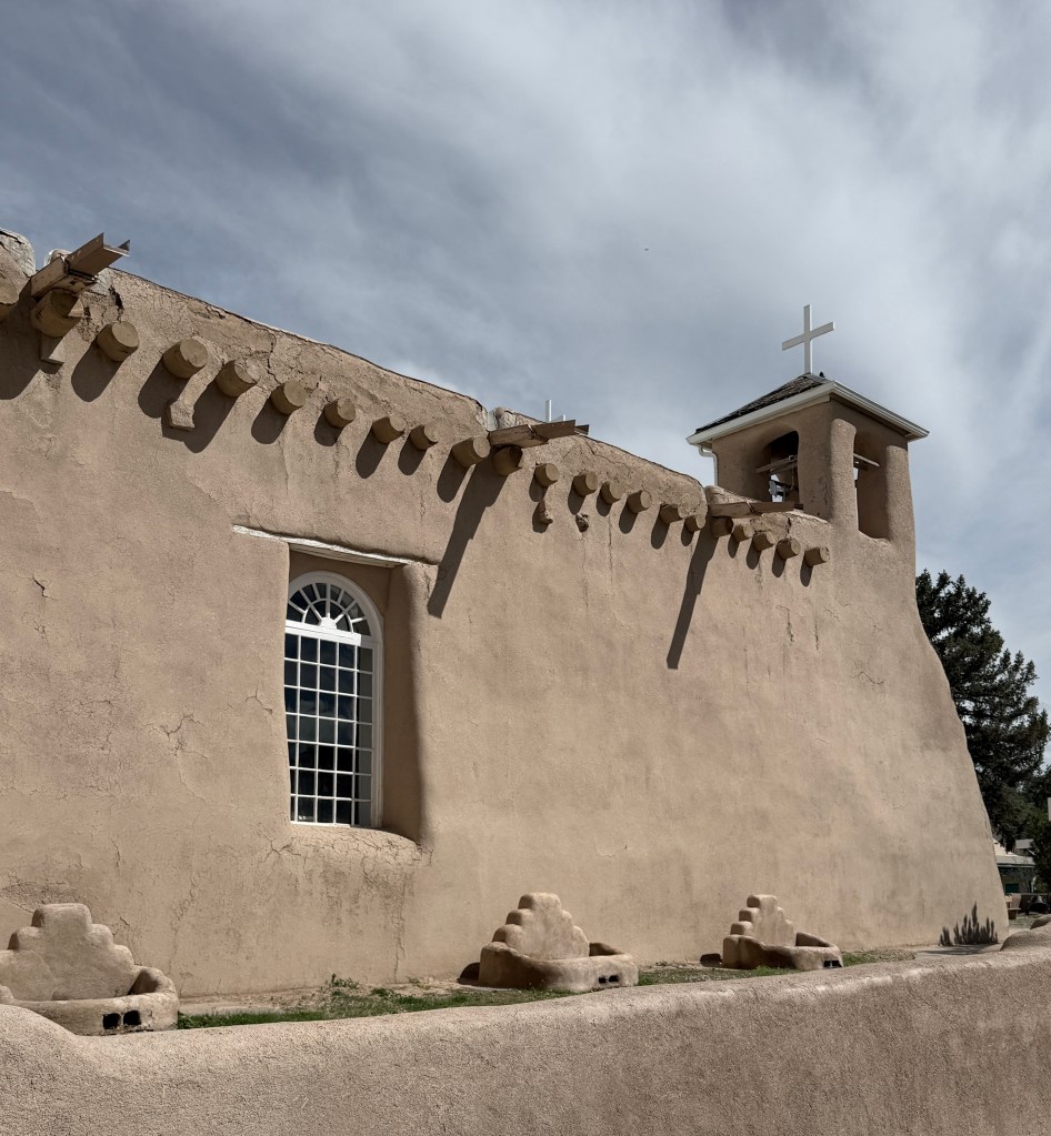
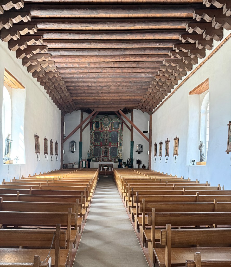
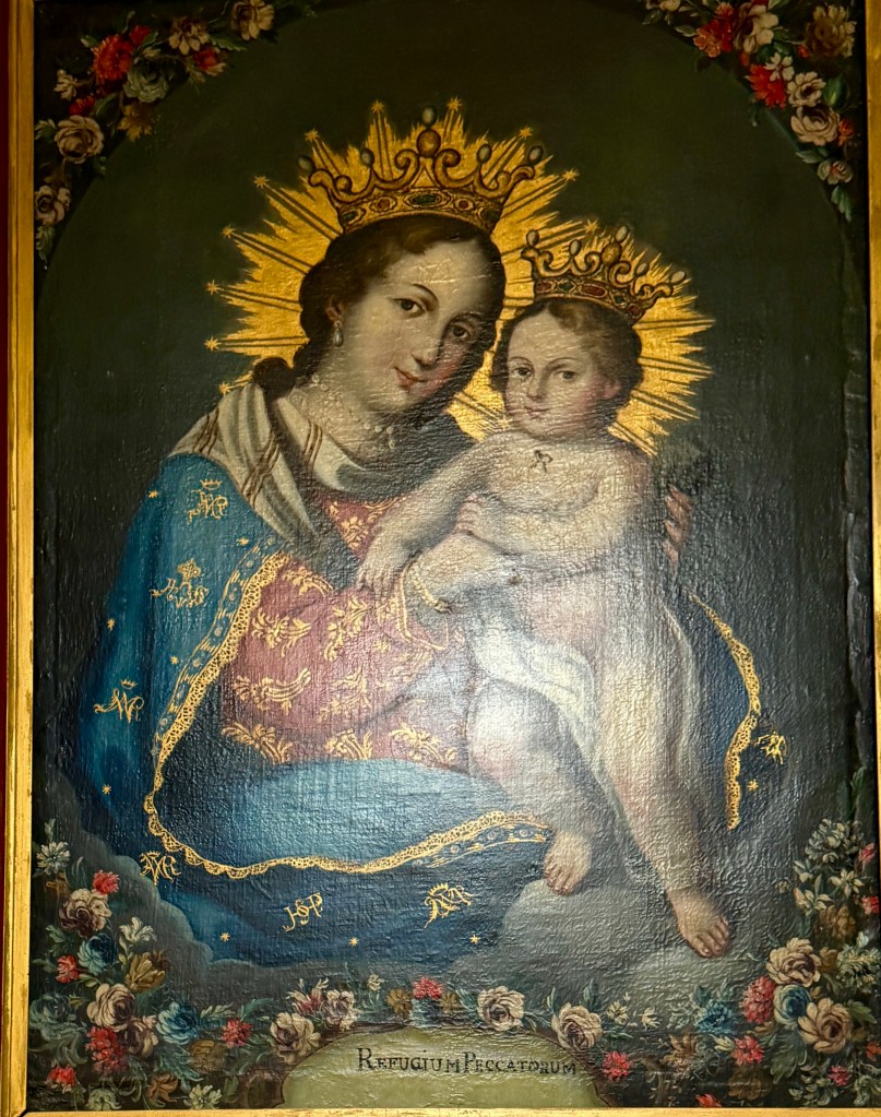
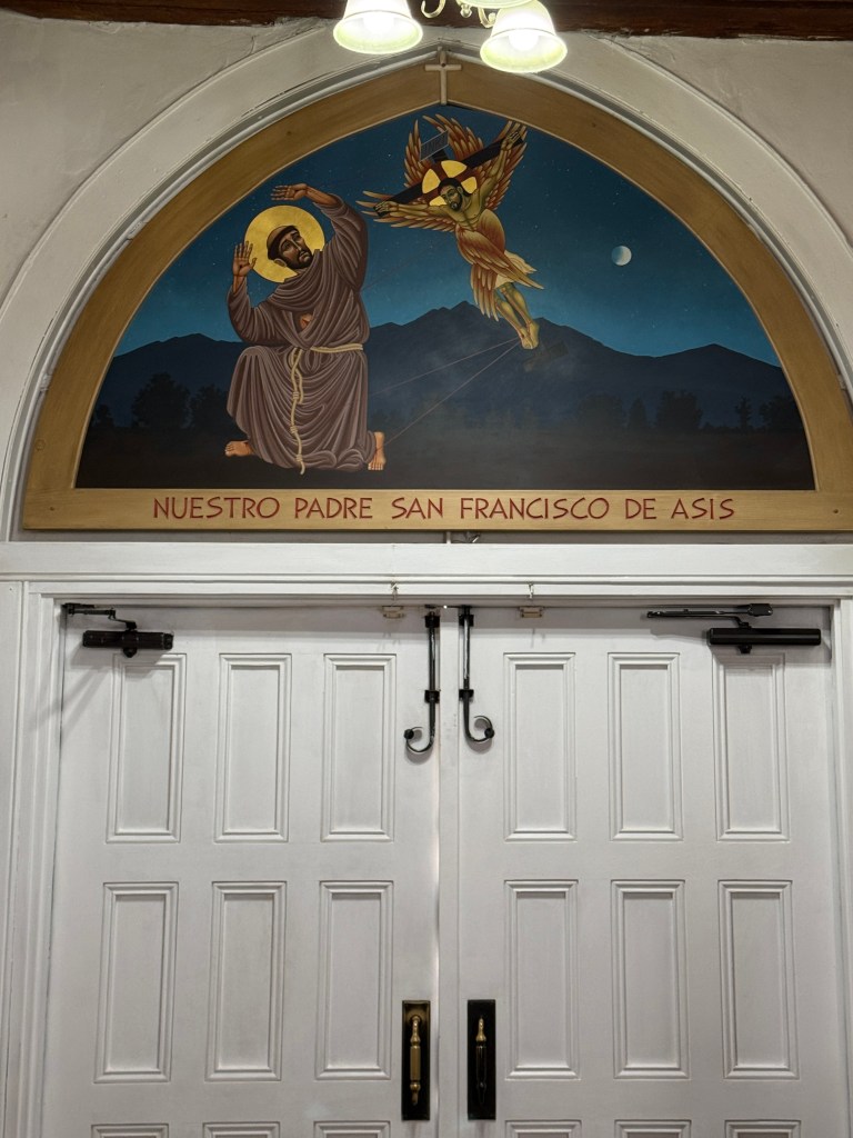
My next stop was to an old church from 1803. Because it was a sunday, when i got there, the church was in session and folks were coming and going. I returned later and when i did, i saw the picture above. A lady sat in the small courtyard and told me to come over and sit down with her. She went over some of the history of the church including her memories of wiping down the wet adobe with sheepskin which had to be dunked into water and then twisted just so. They no longer use sheepskin to pat down the adobe which needs constant care. As she went on with the scripted story, i would ask great imponderable questions like, “how thick are the walls?” which interrupted the flow of the spiel which would be mentally backed up a few sentences and then begun anew.
i untangled from our conversation by saying i enjoyed it greatly but also wanted to see the inside of the church. She said she understood and that perhaps when i left i could offer her some money because she was unemployed.
the door inside
Inside, I said a prayer or two, left and gave her some money and continued on my way.